Pristine Waters, Gruelling Climb, and a Tragic Past
Sceptical. That was my first reaction when hearing the claim about the Blue Lake having the clearest waters in the world. It was just a bit unbelievable. Firstly, how could “clearest” be measured, and secondly if it were true then why wasn’t it world famous – search ‘Blue Lake NZ’ and you will end up just outside Rotorua in the North Island?
Science easily confirms the accuracy of the first question. As for the lack of fame – undoubtably because the South Island Lake is a nine-hour walk with an overnight stay in the wilderness; while at the other ‘Northern One’ you can tow your boat to the water’s edge, go water-skiing and then walk across the road and get an ice cream.
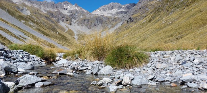
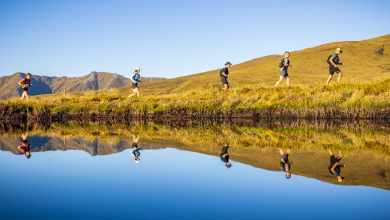
We found that the further we travelled up the valley, the more spectacular the terrain became. Lake Constance – an hour’s walk from the unique Blue Lake – is a spectacle on its own. Personally, my main goal was to take on the punishing climb to the Waiau Pass, with its unique views to the ranges of the Spenser Mountains.
Bird life is prolific thanks to some intense pest control by “Friends of Lake Rotoiti”. The beech forest is full of the calls of bellbirds, tui, and the diminutive rifleman. It’s a pleasure to pitch tent and enjoy their calls as you drop off to sleep at night, and again when you wake in the morning.
Perhaps it’s a little disturbing to learn the track is now part of the Te Araroa trail. There is absolutely no debate that the track should be part of the trail. The disturbing bit is that more foreigners are getting to appreciate the beauty and challenges of the area than New Zealanders. During the five-days we spent travelling the valley, we finished each day chatting with Germans, Canadians, English, Israelis, Australians and Czechs and the odd kiwi. Almost all raved about their experiences traversing the nearby Richmond range, but they were all in awe of what they had seen so far in the Nelson Lakes National Park.
Choosing to spend a night at West Sabine, and two nights at Blue Lake, gave us time to enjoy the lake, and achieve the goal of making it to the head of the valley and reach Waiau Pass.
First Day: Lake Rotoroa at 400m to West Sabine Hut at 800m elevation (5 hours)
Thankfully Donald, a local, chose to begin our trip with the half hour water taxi across the glassy-calm waters of Lake Rotoroa to the jetty at Sabine Hut. It is possible to walk in via Speargrass Hut or over the Travers Saddle, but this was a far more sensible approach.
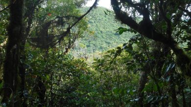
Walking through South Island Beech Forest- the floor dappled with spots of sunlight – is an incomparable way to chill out and reprioritise. The noisy Sabine River track was a constant companion, either close alongside the trail or within hearing distance.
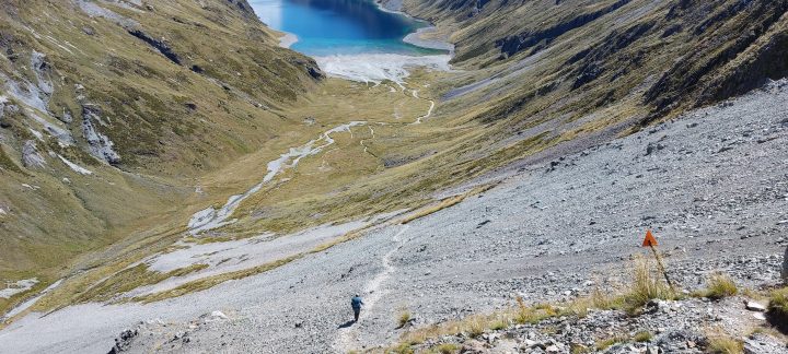
The impact of last year’s heavy rains in the region everywhere. The trail often diverted away from the river through to freshly cut paths around fresh slips and collapsed riverbanks. Mostly the track followed the narrow space between the steep valley river, often meandering through grassy flats or loose slips, and crossing small tributaries where we refilled water bottles.
Within the first hour we reached a bridge across a small and narrow but deep gorge. Below us we got a glimpse of the crystal-clear waters flowing from the Blue Lake. Some logs lying on the riverbed could be seen as clear as if they were millimetres below the water surface.
Perfectly sited to pick up the sun, West Sabine hut must be a warm spot on a cold day. During our visit it was impersonating a sauna. Fortunately, there are plenty of superb camping spots set amongst the trees and close to the river, so I braved the sandflies while Donald chose the sweatbox.
My reward was the company of two natives – a very curious and cheeky Robin and a daring weka. And I woke to the inimitable sounds of a multi-piece orchestra of native bird calls. Donald’s reward was – well, I don’t really know.
Second Day: West Sabine to Blue Lake Hut 1200m (3 hours)
We took longer than three hours. It was sunny and hot. Mountain beech becomes more prominent along this stretch. There are short stretches across scree slopes, and a more rugged section alongside some spectacular rapids with glistening spray as water cascaded over the boulders. On these sections we got full views of the rocky peaks soaring steeply above us, looking all that more ominous with numerous scree slopes.
Stopping for a very brief but very cooling swim, with complimentary ice-cream headache, was well worth the pain before we tackled the final steep and broken stretch to the hut.
Blue Lake Hut, a stone’s throw from the lake, is placed in one of the last clumps of forest before the smaller sub-alpine shrubs and tussocks dominate.
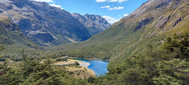
Words failed us as we wandered around the edge of the lake. We kept staring into the bright blue water. It seemed to get clearer and deeper as we made our way around to the southern end. A shallow stream fed icy-cold (5 degrees centigrade) perfectly filtered water from Lake Constance – out of sight above us.
Roughly kidney shaped and probably 250 metres long, the outflow to the north is through a small cluster of rocks ranging up to the size of a small truck. It was no surprise when Marko, the local DOC volunteer hut warden recommended we drink water from the outflow of the lake in preference to the roof-fed tank water at the hut. To keep the waters pristine the rule is ‘Don’t Touch!’
Blue Lake Hut to Waiau Pass 1870m (7 hours return).
Getting to top of Waiau Pass is high on the list of the most challenging sections of the entire 3,000 km Te Araroa Trail. We set off early, feeling inspired by the light daypacks and a near perfect day.
A wide field of broken boulders meets you after the steep climb up the slip to Lake Constance. The precipitous, slip-strewn ridges of Mt Franklin line the eastern side of the lake. A small ridge on the western edge hides the distant top of the lake. It was sobering to consider the ridge was the scene of a tragedy in 2013 when Te Araroa walker Andy Wyatt wandered off the path and slid to his death. Today, with hardly a breath of wind stirring the water, the serenity was still tinged with a little sadness.
My tramping buddy chose to spend more time exploring the lake before making his way back to the hut. I continued my way up the scree slope to the top of the small ridge and lingered for a few minutes out of respect for Andy and pondered the impact the tragedy would have had on his friends and family.
Once off the very steep track back down the lake, I had the good fortune to meet Katerina and George from the Czech Republic, resting after lugging their full packs to this point. It was great to share the experience with them before I continued my way.
The valley leading up to Waiau Pass is a photographer’s dream. Tussock and other tall alpine grasses layered the valley floor. Ahead the imposing slopes of Mt Mahanga (2196m) blocked the way ahead. I got so distracted by the stunning scene that I accidently wandered off the track but thankfully Katerina and George caught me up and pointed me in the right direction.
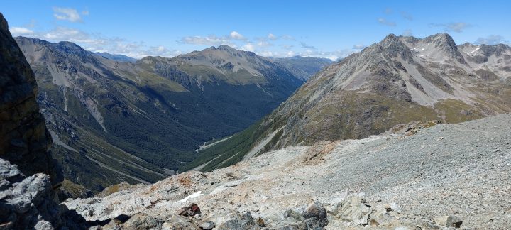
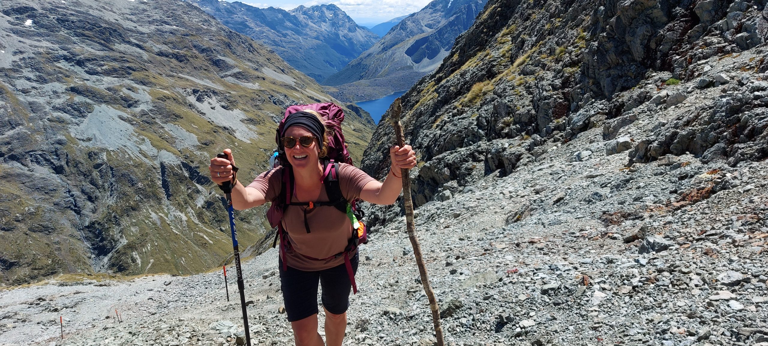
I have to confess that if it wasn’t for the inspiration of my two new companions, I might never have reached the pass. They attacked the slope, leaning hard against the weight of their packs. I followed the most obvious of the many zig zag paths across the scree and eventually made it to the first of many false tops. Ahead of me my companions made it over the crest and disappeared.
Stopping at one stage I turned to take in the absolute rugged grandeur of the place, with the striking contrast of the rocky mountains against the blue waters of Lake Constance. Sometime later I made my way – heart rate well about the 80% of max – to the small plateau before the last 156 metre climb to the pass itself.
A thousand or so calories later I was standing on the pass, staring across at the St James Range and the source of the Clarence River, feeling stoked.
Three thousand hikers were expected to complete the Te Araroa trail from Cape Reinga to Bluff over the 2022/23 season and make it over this pass. It felt good to have shared this place with those adventurers.
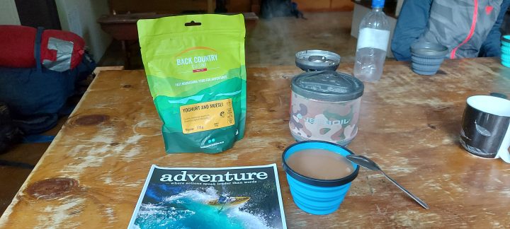
I choose to use Backcountry, Macpac, JetBoil and Keen products


