
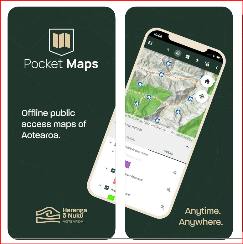
New topographic basemap for Pocket Maps
Source: Herenga ā Nuku – the Outdoor Access Commission
Herenga ā Nuku Aotearoa is thrilled to announce the launch of the new topographic basemap for Pocket Maps. This cutting-edge basemap allows hunters, trampers and other outdoor recreationists out in the field, away from phone reception, to combine our public access information with topographic maps offline. This opens a world of possibilities for outdoor enthusiasts and adventurers.
Herenga ā Nuku chief executive Ric Cullinane says the commission has been committed to listening to its users since the inception of the award-winning Pocket Maps app in 2021.

“The most frequent request we received was to integrate topographic basemaps with our public access data,” says Cullinane.
“We’ve listened to your feedback and overcome the technical challenges by creating our own offline topo map that downloads and interacts with Pocket Maps’ access data.”
The topographic basemap incorporates a wealth of data, including contours, rivers, roads, building outlines, lakes, and New Zealand Geographic Board (NZGB) place names. Additionally, it features huts and campsites provided by the Department of Conservation (DOC) and the latest version of the Landcover Classification Database for visualising different landcover types.
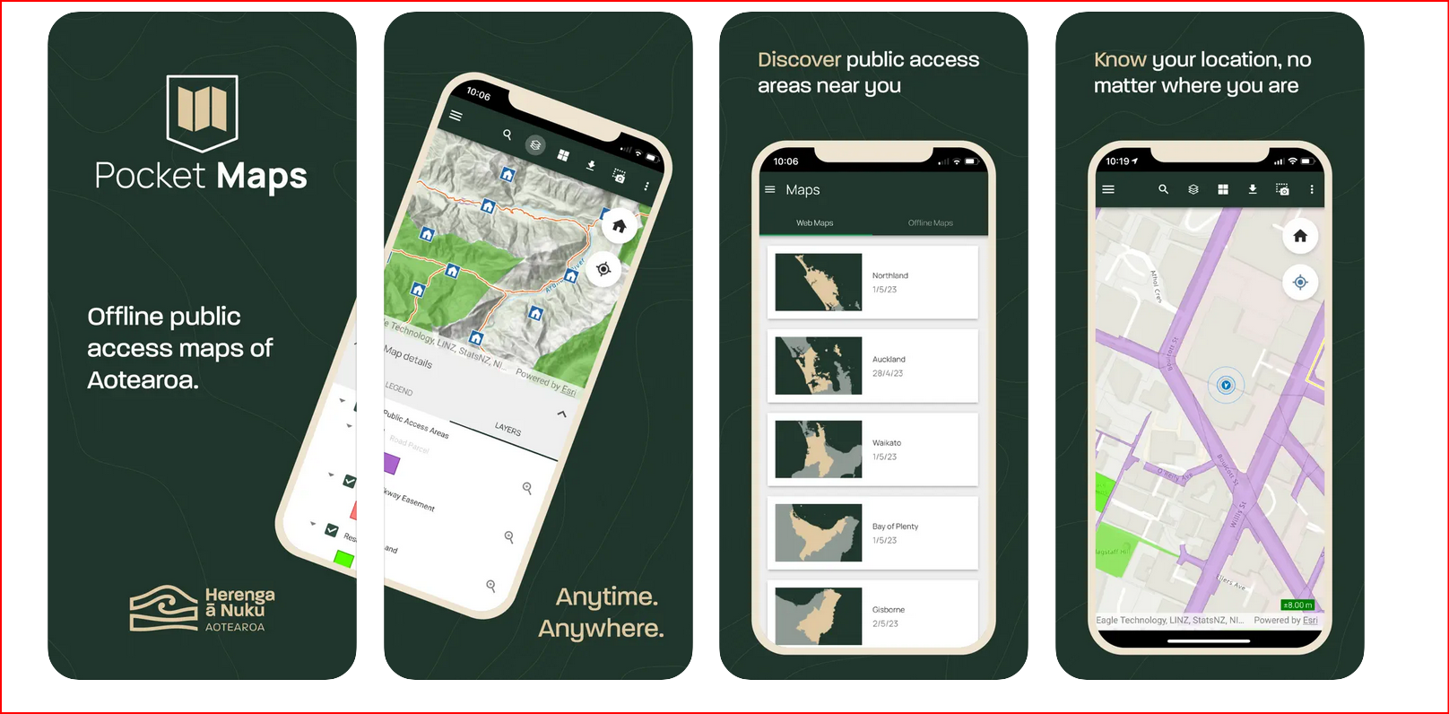
The basemap’s design is inspired by the iconic style of LINZ’s well-loved Topo50 basemap series, ensuring a familiar yet enhanced user experience. We’ve also incorporated accessibility design principles to make navigation seamless.
“We are incredibly proud to bring this innovative feature to the outdoors and are confident it will enhance people’s adventures,” says Ric Cullinane.
Download Pocket Maps at https://www.herengaanuku.govt.nz/maps/pocket-maps