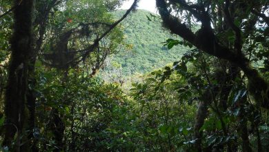
Here’s a fact; there are 27 peaks in New Zealand over 3000m 9800 ft, in Taiwan, there are 286 over 3000m 9800ft!
Taiwan is a country that is just made for hiking/tramping with over 20% of Taiwan made up of protected areas; either National Parks or state reserves, and a further 30% made up of forest.
There are hundreds of well-established hiking trails the majority of which do not need a guide. It is possible to hike/tramp throughout the year, however, the conditions are best in the autumn (late August to early October) when the weather is slightly cooler and the air a little drier.
There are well established guided tours and a range of accommodation to meet all budgets. But without doubt, the biggest pull for hiking in Taiwan is that it is so new and fresh to the European market. Ask yourself the question… do you know anyone who has even been to Taiwan to visit, let alone to hike there?

There is a huge amount of information online re the National Parks which have clear outlines as to levels of fitness and ability required (make sure you click the English icon to get the correct translation). There’s everything from simple gentle walks on constructed pathways to the mighty 3952m Jade mountain.
This is just the tip of the iceberg in terms of what is available in Taiwan but it will give you some insight and motivation to go.
Wuling Sixiu Trail, Shei-Pa National Park (North Taiwan)
This is one of the most challenging tracks in Taiwan. Based in Shei-Pa National Park the Wuling Sixiu is placed in a group of mountains and the trek takes three to four days depending on fitness and how much time you take to stop and take photos.
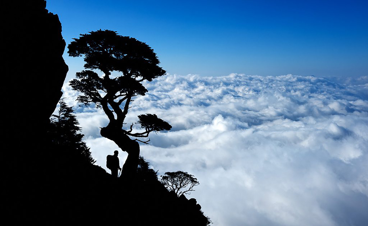
The ‘Sea of Clouds’ is the first main breath-taking moment, which as the name suggest you look back into a valley shrouded in the cloud which is at 1500m above the Yilan Plain from there you continue on to the ‘Taoshan’, the peak of Mount Tao which is 3.324m above sea level. To give you a comparison, Mount Ruapehu at its highest point is 2,797m.
The trail continues to the top of Mount Chiyou, with its panoramic views across Shei-Pa National Park.
You’ll see the sunrise above the Central Mountain Range, as long as you get up early enough before heading on to Mount Pintian. Towering 3,524m above sea-level, the last stretch of the trail is roughly 300m long and requires a strong nerve as it involves a number of narrow pathways, as well as fixed-rope sections with sheer drops. It is strongly advised that those wishing to follow the Wuling Sixiu trail do so with a qualified guide.
Zhuilu Old Trail, Taroko National Park (East Taiwan)
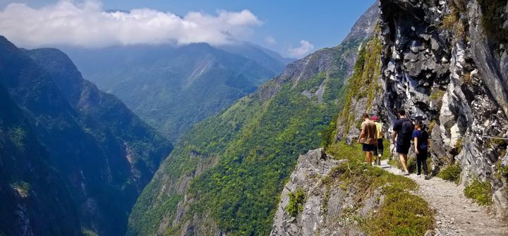
Taroko National Park, possibly the most famous National Park in Taiwan is one of the most easily accessible in terms of hiking. The 10.3km Zhuilu Old Trail traverse is one of the key hikes in the region.
There is a remaining section of the old Hehuan Mountain Road that is still intact and this is where the trail starts and it’s pretty easy going. The most challenging aspect is where it edges along the side of the 1,100m-high Zhuilu Cliff, where you can walk along a ledge that is only 60cm wide at its narrowest point. There are some amazing views of the Liwu River, but due to the steep and narrow aspect of the ledge this hike is not for everyone, but it is impressive!
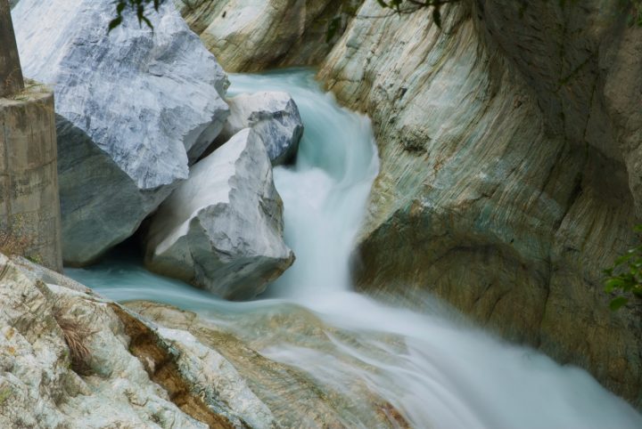
An easier option of the Zhuilu Old Trail is the Lushui-Holiu Trail, which is just 2km long and gives the same remarkable views of the gorge, without vertigo!
The Zhuilu Old Trail is controlled and is permit-basis only and permits need to be requested at least a week in advance.
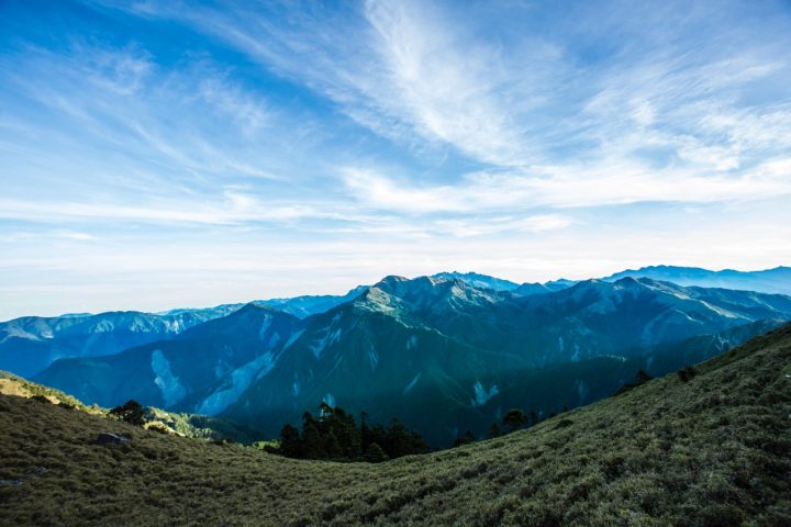
The Beidawushan Trail (south Taiwan)
The most southerly mountain in Taiwan, Beidawushan reaches over 3,000m above sea-level at its peak. This trail, which is 10km in length, is one of the most popular overnight hikes in Taiwan, as the majority of the trail is easy to follow and it has some incredible panoramic views.
The trail begins at an elevation of 1,520m and the majority of the path is clear and easy to follow. The second day of the trail includes a number of narrow ridges, as well as some exciting rope sections. You’ll also encounter a 1,000year-old red cedar tree, as well as Japanese-era shrines and rare forests of hemlock spruce. The trail ends at the summit of Beidawushan, from which you can observe both the Pacific Ocean and the Taiwan Strait.
The Beidawushan Trail does require transport to reach and while the journey to the trailhead may be complicated, the trail itself and the views are worth the effort.
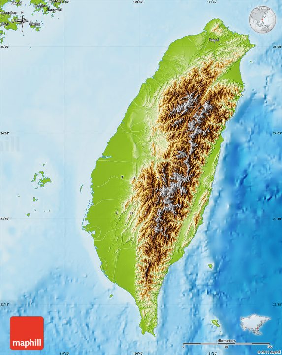
The Yushan Peaks Trail, Yushan National Park (west Taiwan)
The Yushan Peaks Trail is extremely popular with visitors to Taiwan as it is appropriate for anyone of average fitness. The route threads through Yushan National Park and leads to the main Yushan Peak (Jade Mountain).
On the first day of the trail to the main Yushan Peak, you’ll get views of the Cishan River plus rare hemlock forests and strange collections of dwarf bamboo.
After an early start on the second day (essential if you want to reach the summit for sunrise), you’ll find that as the altitude increases, forests are swapped for fields of rhododendron and juniper. From here, you can continue by foot on to the Yushan West, North and South peaks.
You don’t need a guide for this trail, but you must pick up a pass from the Paiyun Visitor Centre before you set off.
This is just a small taste of what is offered in terms of hiking in Taiwan visit these websites for more information


